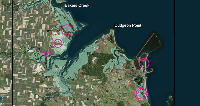
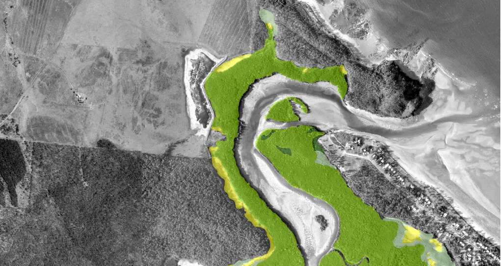
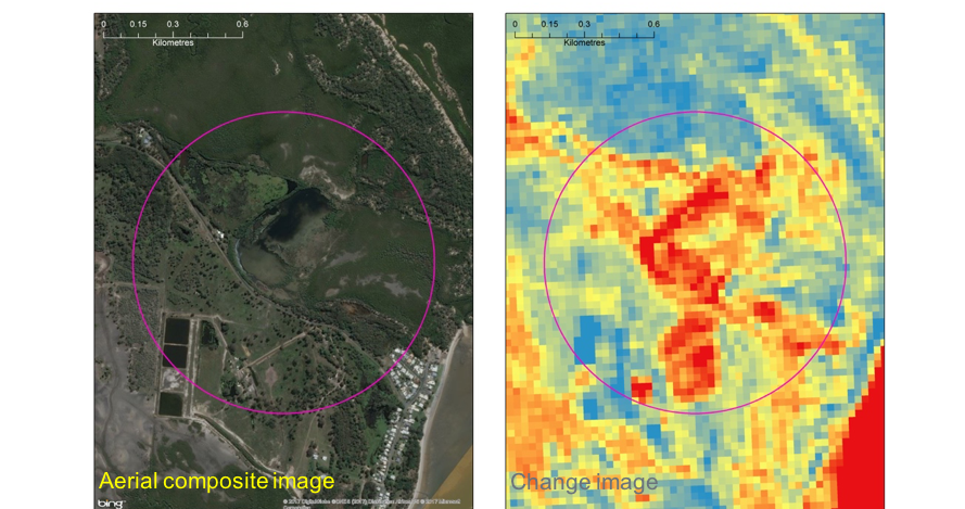
North Queensland Bulk Ports (NQBP) wanted to assess the health of the Mangrove and Saltmarsh communities in a 40 km coastal strip around Mackay. They were hoping to examine a large area in a short amount of time with a high degree of accuracy. 2rog worked with NQBP to develop a satellite image change detection approach to examine changes in the Mangrove environment from 1987 to 2017. Further, high resolution, work was undertaken using a sequence of historical aerial photographs dating back to 1960. We were able to map changes in the nearshore environment in 10 year times steps from 1960 to the present.